GEOPHYSICAL SURVEYS
Geophysical surveys help extend the understanding of ground conditions between direct investigation points and can reduce uncertainty over larger alignments and development areas.
Services may include electrical resistivity profiling, seismic methods and other survey approaches selected to suit the ground conditions, target depth and engineering question.
Subsurface Screening With Wider Coverage
Geophysical methods help identify changes in ground conditions between boreholes and across larger corridors or sites.
Survey Planning
- Methods and layouts are selected to match target depth, site access and engineering objectives.
- Project-specific recommendations for design and execution teams.
- Clear reporting with practical observations and engineering notes.
Field Measurement
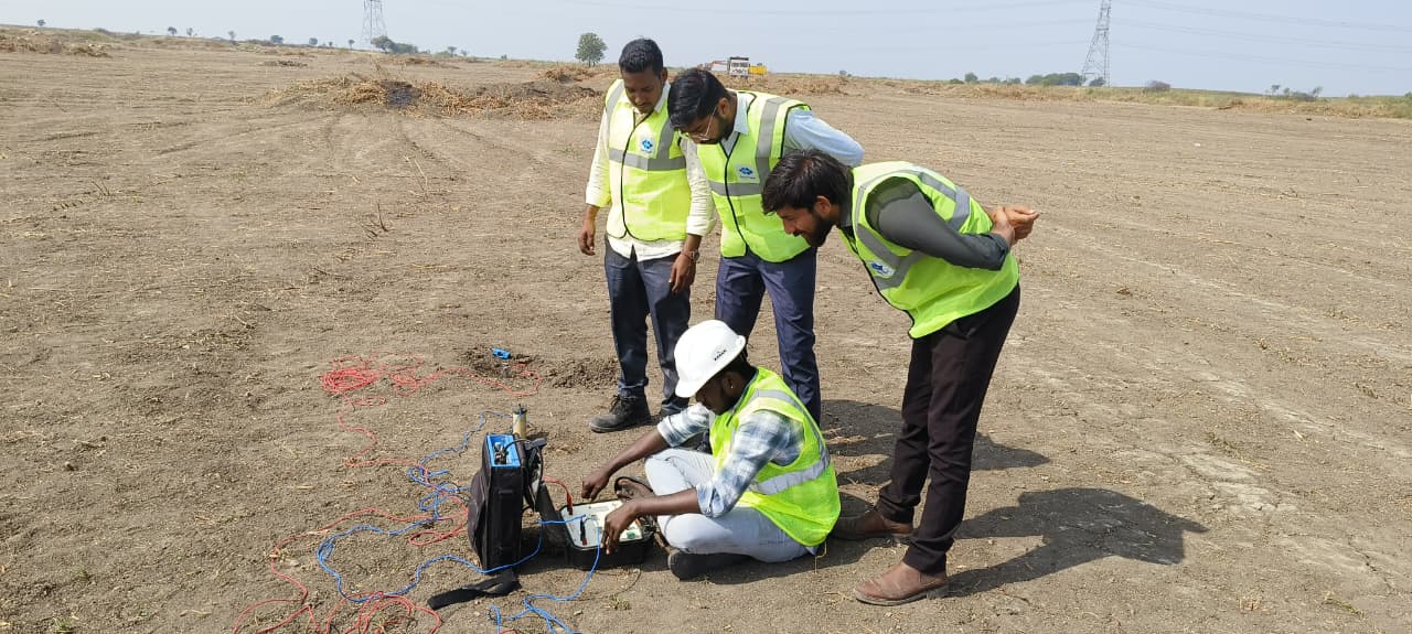
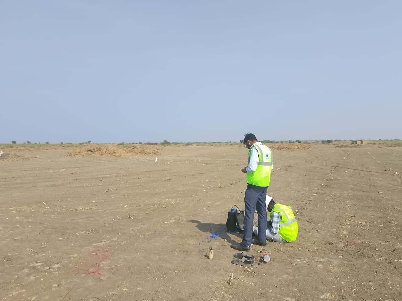
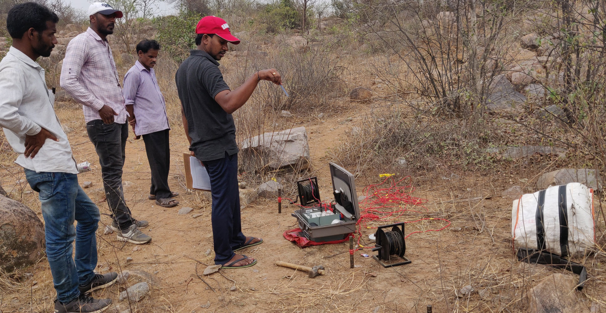
- Non-invasive readings are collected with controlled spacing and repeatable field procedures.
- Project-specific recommendations for design and execution teams.
- Clear reporting with practical observations and engineering notes.
Engineering Interpretation
- Results are correlated with boreholes and site information to improve ground understanding.
- Project-specific recommendations for design and execution teams.
- Clear reporting with practical observations and engineering notes.
Case Studies