TOPOGRAPHICAL & HYDROGEOLOGICAL SURVEYS
Topographical and hydrogeological information gives designers a reliable physical and groundwater context for project planning, earthworks, drainage and construction methodology.
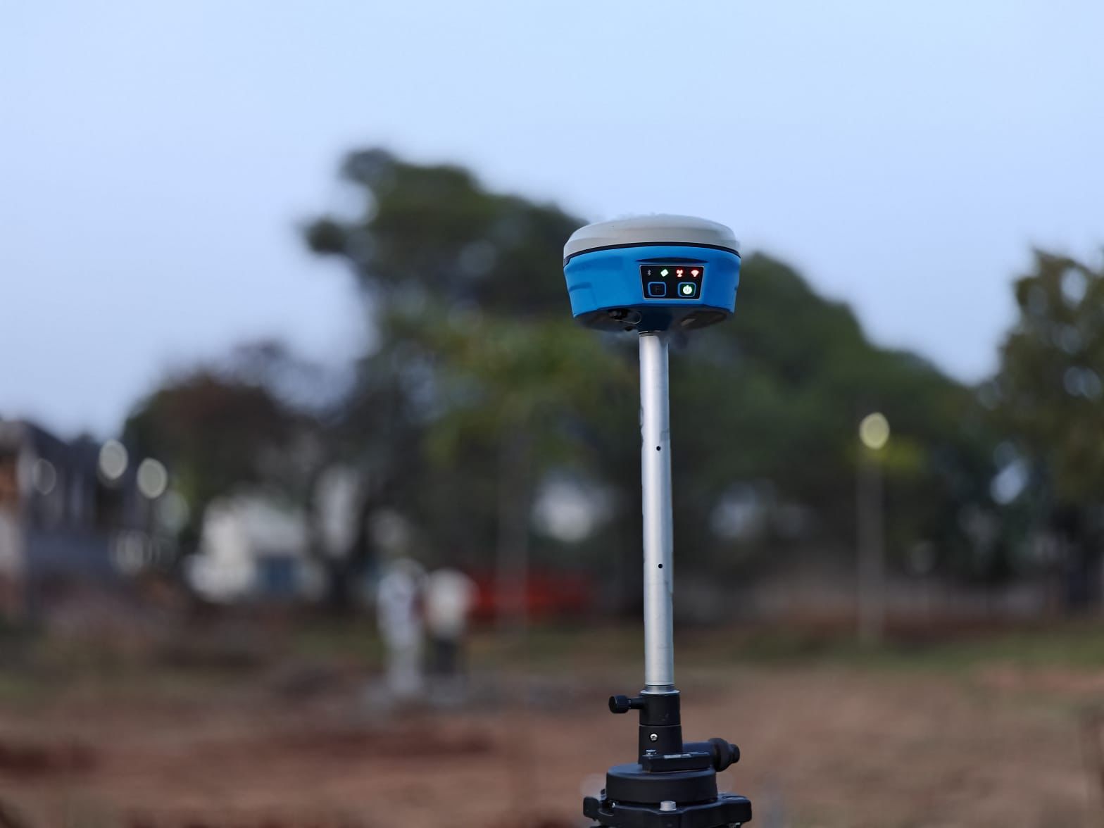
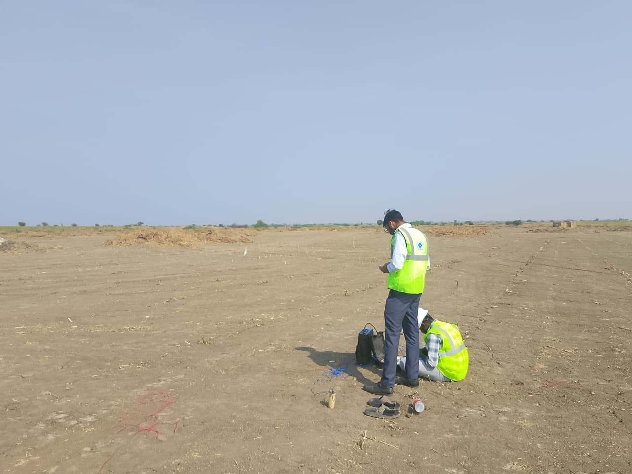
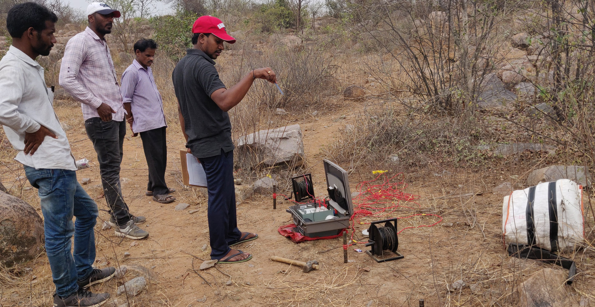
Medini supports contour and feature surveys, site benchmarks, groundwater observations, water-level monitoring and hydrogeological inputs for investigation and construction planning.
Site Context for Planning and Design
Survey and groundwater information helps project teams understand levels, constraints, drainage and water-related risks.
Topographic Mapping
- Levels, contours and site features are recorded for planning, design and quantity work.
- Project-specific recommendations for design and execution teams.
- Clear reporting with practical observations and engineering notes.
Groundwater Monitoring
- Water levels and observations are tracked to support excavation and foundation decisions.
- Project-specific recommendations for design and execution teams.
- Clear reporting with practical observations and engineering notes.
Design Coordination
- Survey outputs are organized for practical use by architects, engineers and contractors.
- Project-specific recommendations for design and execution teams.
- Clear reporting with practical observations and engineering notes.
Case Studies